Information
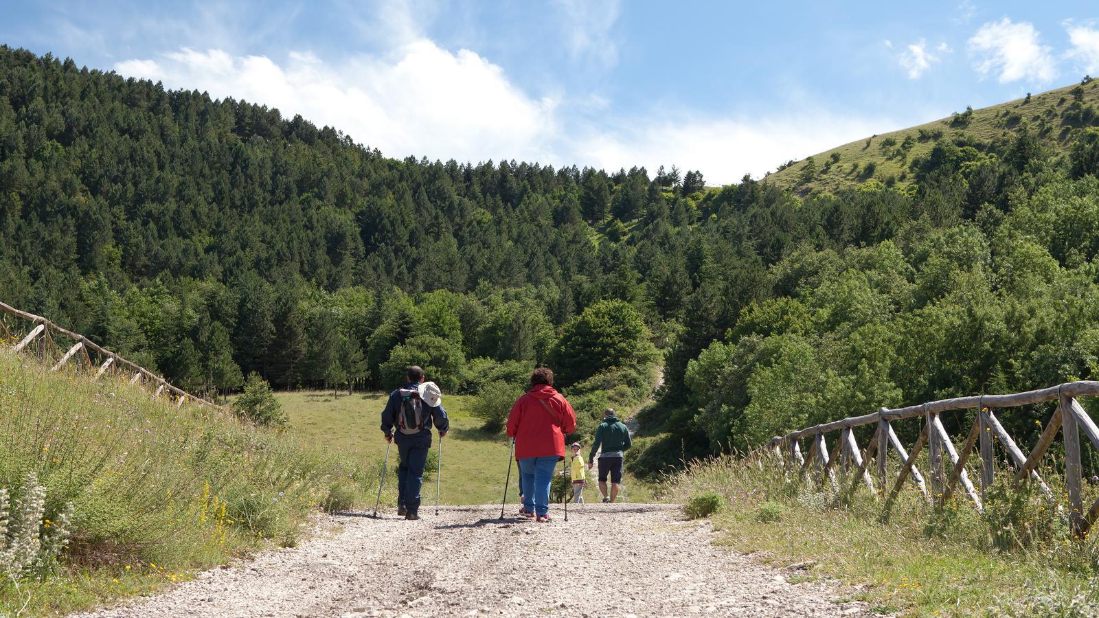
It is possible to walk it on foot, by mountain bike or on horseback and thanks to it reach the summit of Mount Cornacchia, where there is a beautiful refuge.
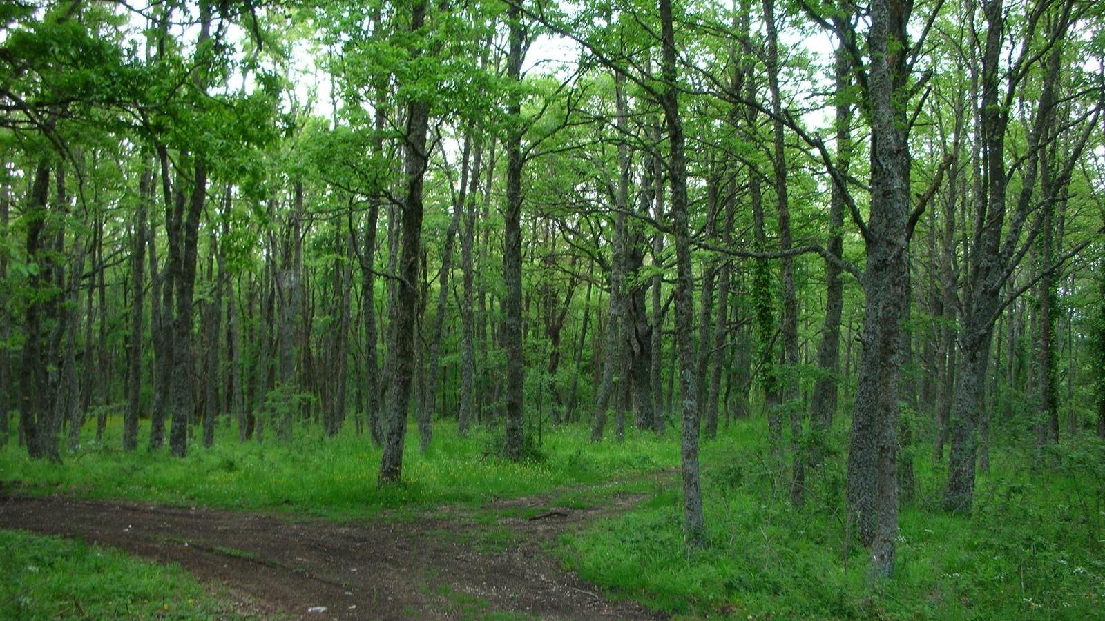
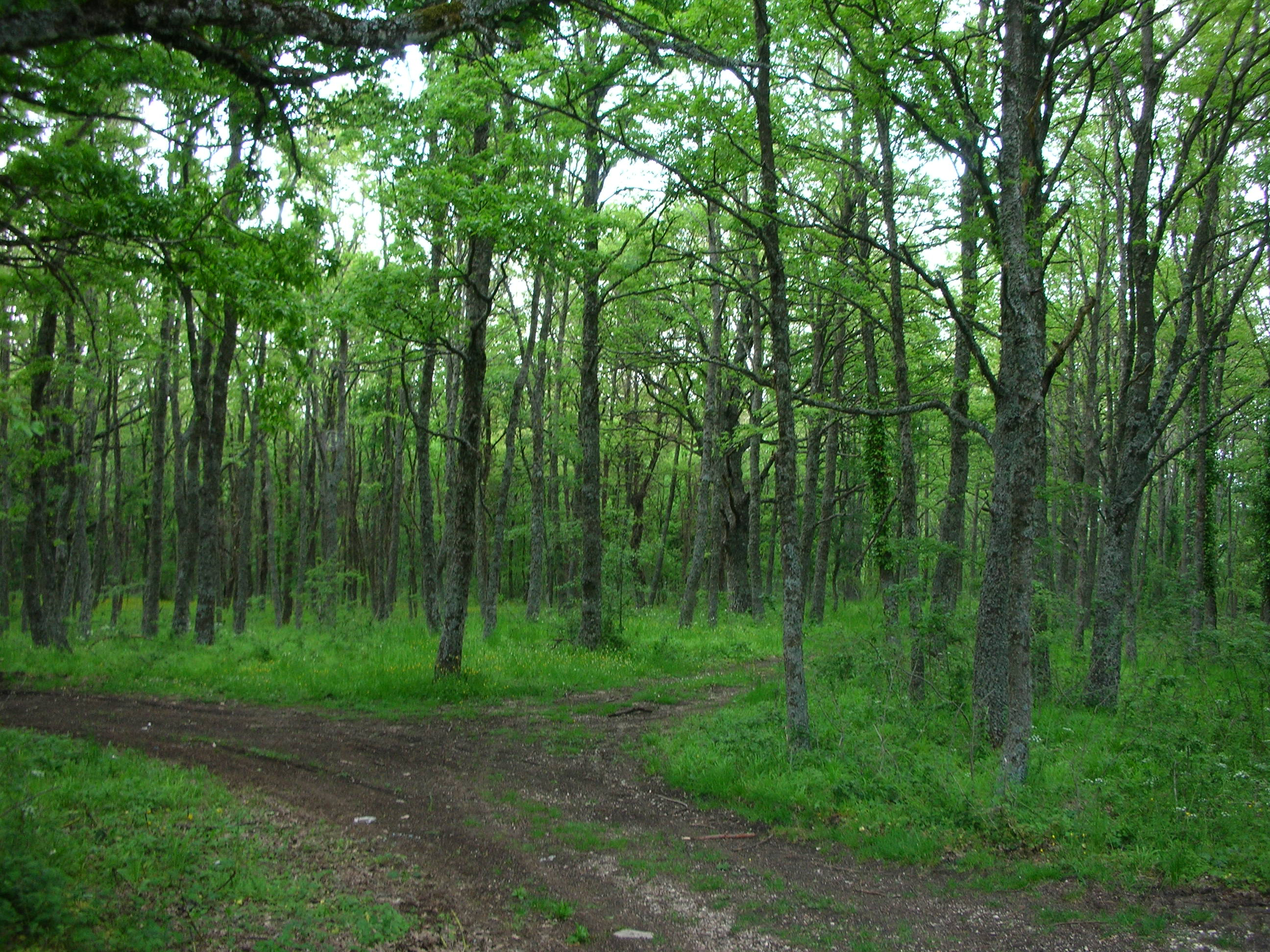
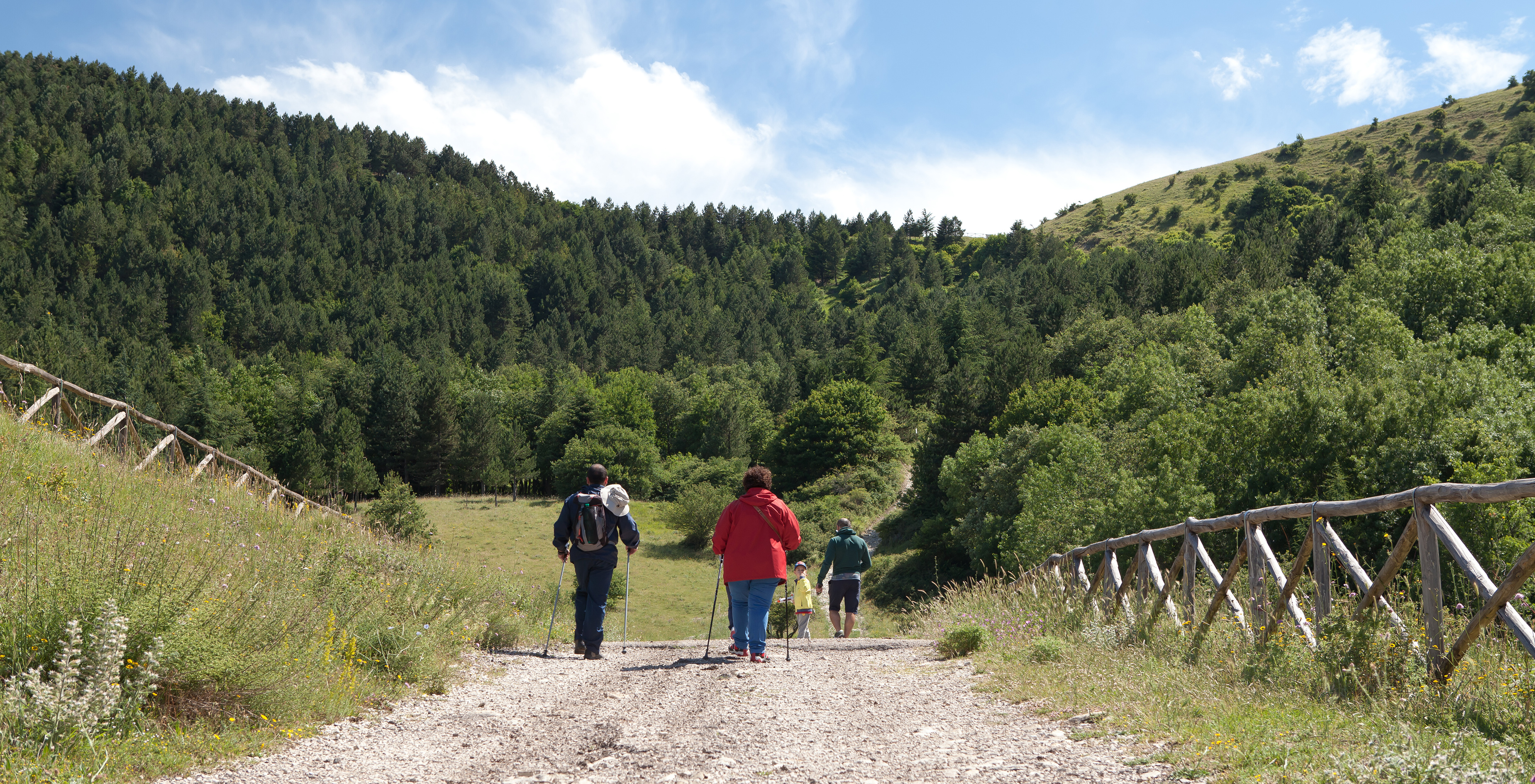
The Monte, with its 1151 meters, is the highest peak in Puglia. From its peak you can enjoy a suggestive and spectacular 360 º view towards the Irpinia, the Gargano, the Maiella and the Tavoliere. It is the ideal destination for excursions and trekking in search of unspoilt landscapes and tranquility. The vegetation is characterized by the presence of vast grasslands and pastures of altitude, alternating with coniferous and broad-leaved woods. The most important faunal presence is that of the wolf, an index of high naturalistic value of the whole area. Next to the fox, the wild boar, the badger, the porcupine, the roe deer, should also be reported the presence of numerous species of birds of prey.
The path that encircles Monte Cornacchia is dedicated to the Blessed Pier Giorgio Frassati from Turin (1901-1925), who was a member of the Italian Alpine Club. Frassati considered the mountain and contact with nature as a means of uplifting the spirit. Under the motto "To meet God in Creation", many Italian regions have dedicated their own nature trail to Frassati. Puglia did so in 2011 at the proposal of the CAI Section of Foggia.
The stretch that connects Castelluccio Valmaggiore to Celle di San Vito is about 3, 5 km long, and crosses the Valle del Celone. Surrounded by greenery and pampered by the gentle sound of the waters of the stream, even less experienced hikers can walk this stretch of the trail in just over an hour. The path between Celle di San Vito and Faeto cuts the beautiful Bosco Argaria, connecting the two villages. Along these two stretches of path it is possible to see the remains of the watermills of the Celone Valley.
The stretch that goes from Faeto Roseto Valfortore skirts the beautiful woods of Defense (Faeto) and Iscatare (Roseto). The portion of the path that instead connects Roseto Valfortore to Biccari goes up to the top of Mount Cornacchia and then down to the Bosco Cerasa (Biccari). These are the two most challenging stretches of the trail, both for the length of both, of different km, both for the differences in height. However, the routes can also be run by inexperienced hikers and in times between 3 and 5 hours. In addition, the path in these sections can also be done by mountain bike and horse.


