Search
Map

Valle Maggiore o del Celone - Castelluccio Valmaggiore

Photo gallery

Information

The stream Celone comes from the source Aquilone that is located between the Church of San Vito and the Taverna of the same name, along the Via Francigena of the South that in that stretch runs the Roman Via Traiana. At an altitude of 1050 a.s.l. the stream originates, which in the first section appears small, tortuous and hidden, therefore called Celone from the verb "Celare" (hide).

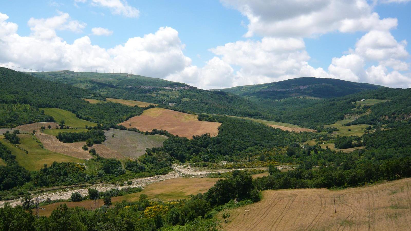
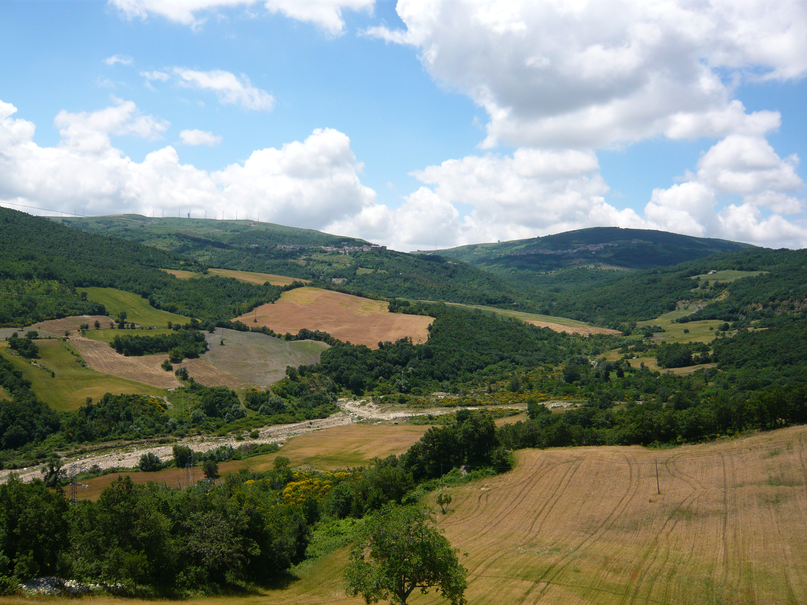
The wider valley of the Monti Dauni, and therefore also called "Maggiore" is crossed by the river Freddo and directly connects the highest mountain of Puglia, Monte Cornacchia, to the Tavoliere. A beautiful sheep track makes it suitable for trekking and mountain biking: an unforgettable experience, lulled by the roaring sound of the water and the leaves of the oaks shaken by the wind.


Add a review

Location :

Cities :

Download the App

A detailed and constantly updated guide, which you can use in different ways:

- discover the points of interest and places to visit near you, if you are in the Monti Dauni;

- know the best places to stay and the activities you can do, if you are planning your next vacation.

DOWNLOAD now the most complete application to visit the Dauni Mountains and start discovering the wonders of this area!

Apple Store Google Play

Informativa breve

Noi utilizziamo cookie come specificato nella cookie policy. Puoi acconsentire all'utilizzo di tali tecnologie chiudendo questa informativa, interagendo con un link o un pulsante al di fuori di questa informativa o continuando a navigare in altro modo. Utilizziamo cookie di terze parti con lo scopo di capire come i visitatori interagiscono con il sito, raccogliendo e trasmettendo informazioni in forma anonima. Puoi liberamente prestare, rifiutare o revocare il tuo consenso, in qualsiasi momento, accedendo al pannello delle preferenze cookies. Puoi acconsentire all'utilizzo di tali tecnologie chiudendo questa informativa.